


For much of 2024, the City was focused on its northern edge, as it worked to develop its “Envision Henderson” West Henderson Road Vision Plan. This study is the next logical step for the corridor, following zoning updates within the office district centered around Arlington Centre Boulevard, a process that was finalized at the close of 2022.
MKSK, a local community planning and urban design firm, led the process on behalf of the City, with support from Burgess & Niple, Jones Architectural Studio, and Toole Design.
The study area runs from Stonehaven Drive/Chevy Chase Court on the west, to Reed Road on the east. The planning process included an evaluation of prior studies and plans for the corridor, a review of existing regulations, meaningful public involvement to gather community input about the corridor, consideration of prospective regulations for future redevelopment opportunities, and an exploration of complete streetscape concepts to safely accommodate all users. The final plan, which was adopted by City Council in March of 2025, highlights an aspirational, yet achievable vision for the corridor that will be supported by policy recommendations, recommended roadway and streetscape improvements, potential site concepts, and guidance for funding and implementation.
WHY THE STUDY WAS INITIATED
The Henderson Road commercial corridor and what happens to it is important to the City for several reasons.
The Central Ohio region is growing rapidly, and every community – Upper Arlington included – is feeling the impacts and pressures of this change. How communities prepare for what’s to come, will be key to their longterm health, identity and vibrancy.
West Henderson Road is the last major business district within the City with the potential for significant change, similar to what has been occurring along Lane Avenue and at Kingsdale.
However, unlike Lane Avenue and Kingsdale, a combination of factors make the district a more complex proposition for prospective developers, with no significant projects emerging to date under the City’s existing Planned Mixed-Use District framework:
- Henderson Road serves as the boundary between Upper Arlington and the City of Columbus. With multiple property owners, and different zoning and design standards for each jurisdiction, the resulting developments over the years have created an inconsistent look and feel.
- The district is located at the northern edge of the community instead of a more central location, with diminished access to the region’s network of highways, and lacks a defined sense of place within UA.
- The current roadway configuration does not reflect contemporary safety, access, streetscape and aesthetic expectations.
As a result, the district is aging and at risk of decline or inconsequential reinvestment on a parcel by parcel basis – a future that fails to solve some of the big picture issues that could ultimately transform this district into a vibrant community gateway that features new housing options, businesses and amenities, within an attractive, accessible environment.
Study Goals
The study set out to:
- Facilitate a consistent, safe, and attractive corridor.
- Add community value by creating a welcoming, open corridor.
- Maximize economic development opportunities.
- Enhance the vibrancy and walkability of the corridor.
- Identify opportunities for additional housing.
- Define a transitional edge to Upper Arlington.
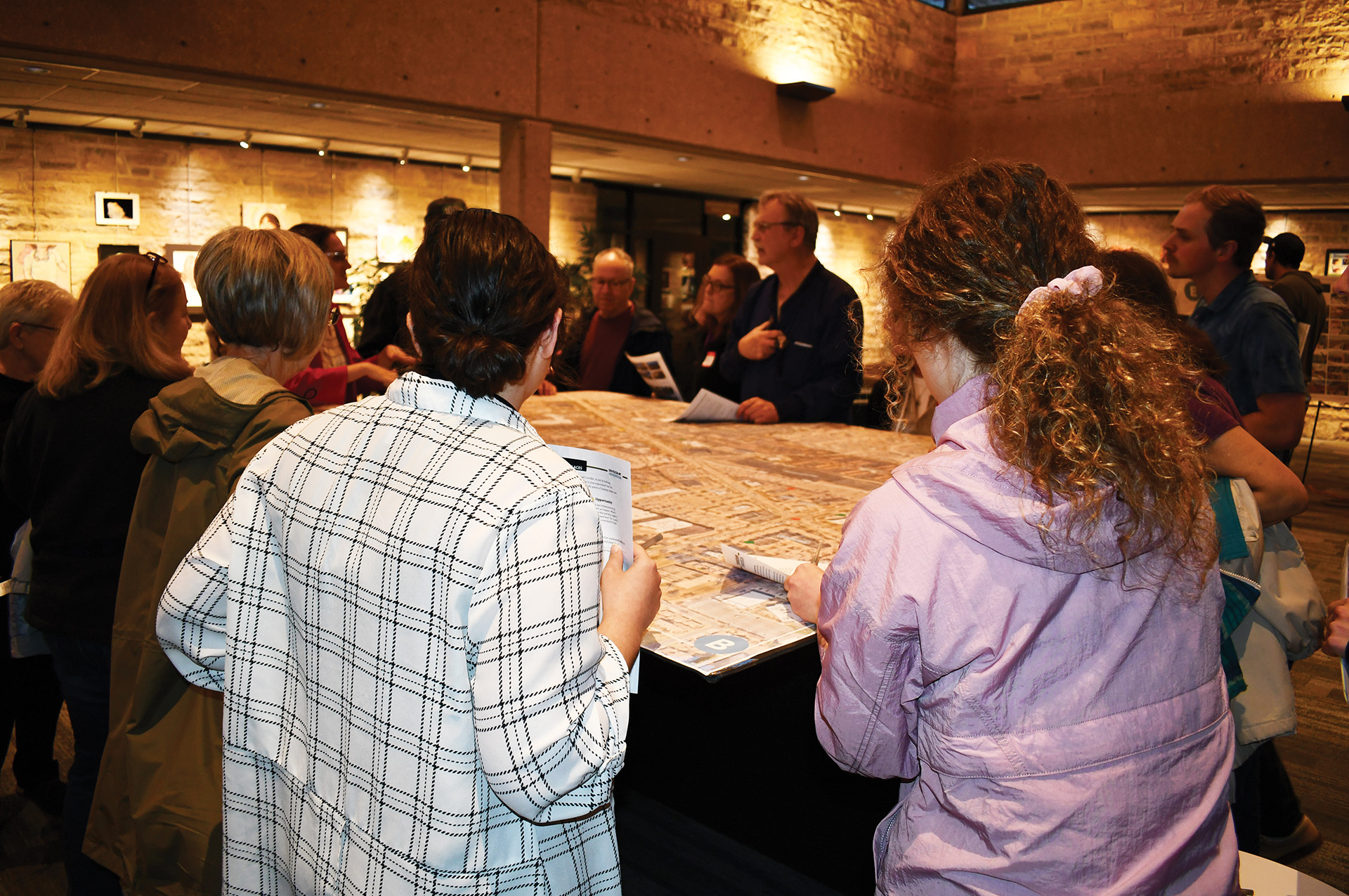
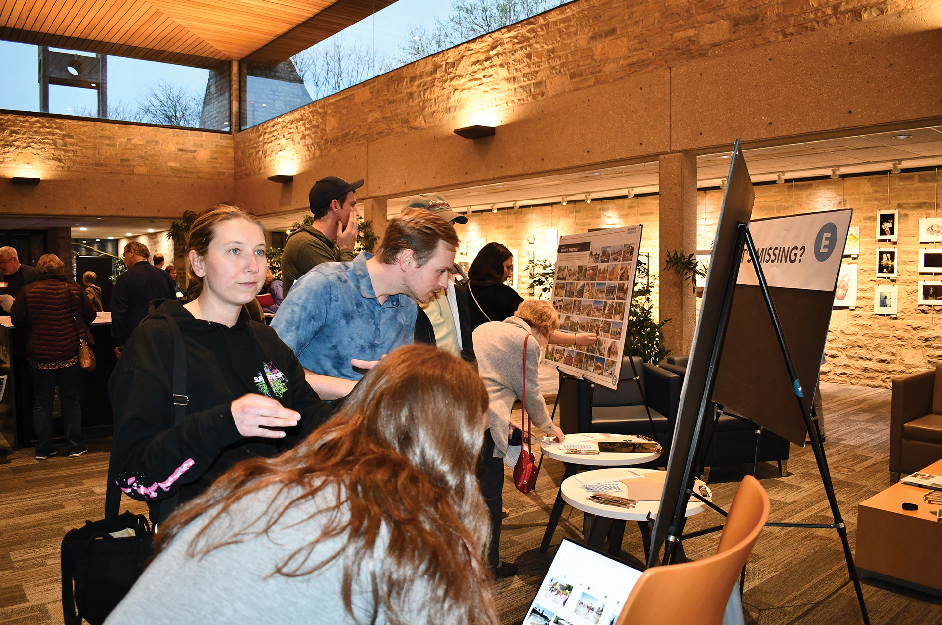
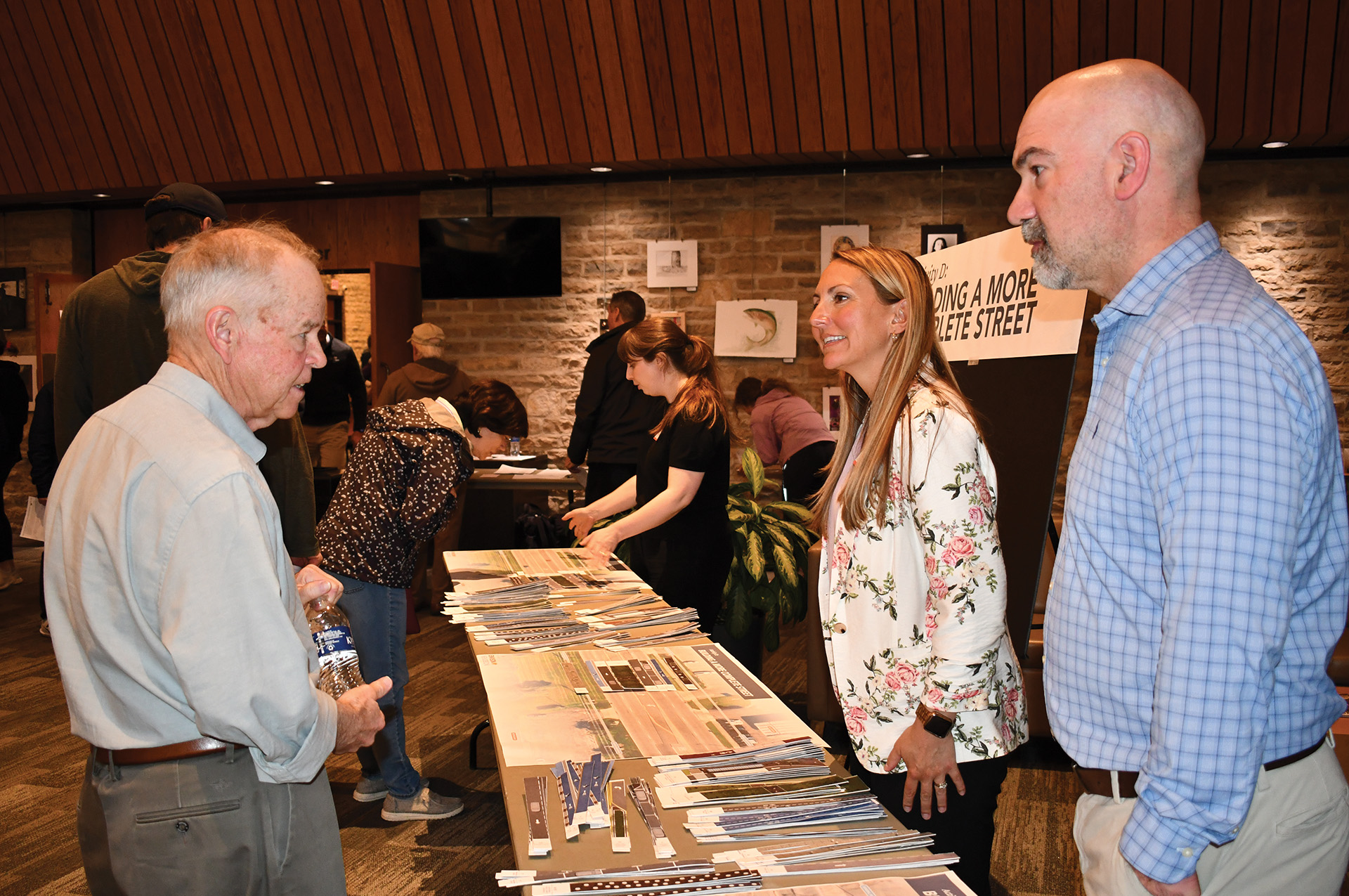
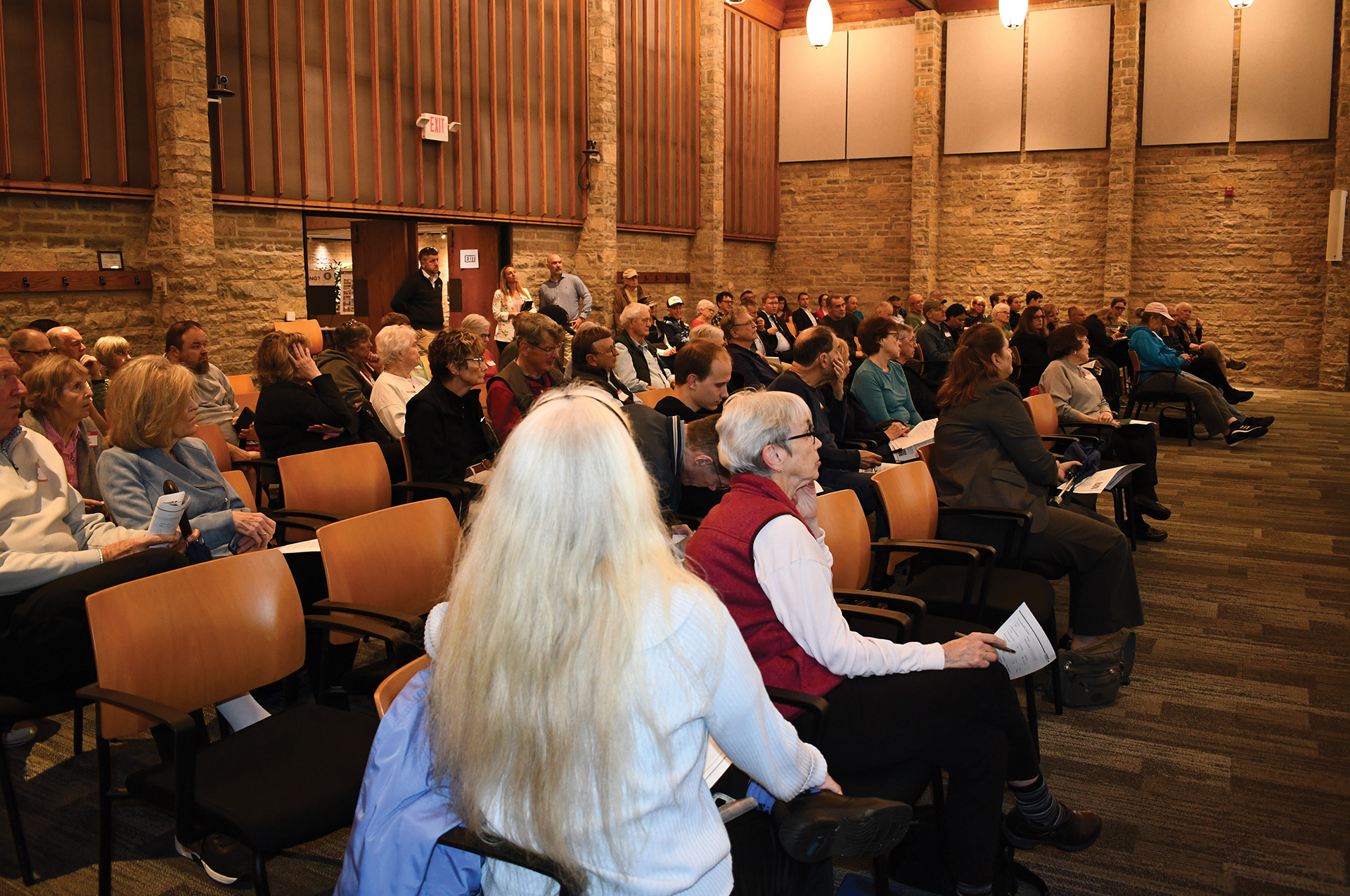
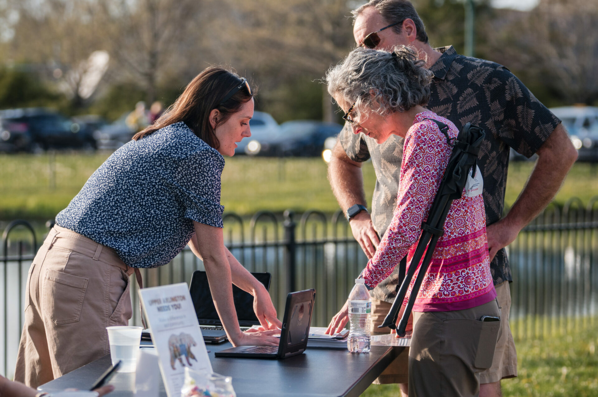
Community Engagement Opportunities
Throughout the study process, a series of community engagement opportunities were provided, so that residents and businesses within the district, as well as our neighbors to the immediate north in Columbus, could share their ideas and concerns, and provide feedback as the visioning plan was developed.
MEETINGS & EVENTS
2025 MEETINGS, EVENTS & COMMUNITY ENGAGEMENT OPPORTUNITIES
City Council Action on Draft Envision Henderson Report
March 3
Report adopted.
Draft Report
Staff Report
Resolution #3, 2025
Presentation to Board of Zoning and Planning
February 19
Board of Zoning and Planning to review proposal and make recommendations to City Council
Staff Report
Envision Henderson Draft
Envision Henderson Appendix
2024 MEETINGS, EVENTS & COMMUNITY ENGAGEMENT OPPORTUNITIES
Presentation to City Council
October 21
VIEW THE PRESENTATION VIDEO (Click on Item 4.A. to fast forward to the presentation)
VIEW THE SLIDE DECK
Virtual Community Meeting 2
Noon, Thursday, August 15
VIEW THE VIRTUAL MEETING HERE
Similar to the August 8 Community Meeting, the planning team reported out on its findings to date, tested some concepts and shared an update on next steps.
View the Meeting Presentation | Take the Community Choices Survey
Community Meeting 2
6:30 pm, Thursday, August 8
Municipal Services Center, 3600 Tremont Road
The planning team reported out on its findings to date, tested some concepts and shared an update on next steps.
View the Meeting Presentation | Take the Community Choices Survey
Community Meeting 1
6:30 pm, Wednesday, April 10
Municipal Services Center, 3600 Tremont Road
During this first phase of the project, in addition to sharing an overview of the study and anticipated timeline, the planning team was seeking input from community members relative to current conditions within the corridor, as well as gathering ideas for improvement opportunities.
View the Meeting Presentation | Envision Henderson Engagement Hub
Virtual Meeting 1
Noon, Wednesday, April 17
VIEW THE VIRTUAL MEETING VIDEO HERE
Passcode: Ey*Lk03T
The discussion and activities were similar to the April 10 Community Meeting
Pop Ups
We are bringing the Envision Henderson Phase 1 engagement activities to you at the following events and locations:
- Jazz at the Barn: 6-9 pm, Thursday, April 18, Sunny 95 Park
- The Fairway: 3:30-5:30 pm, Thursday, April 25, 1965 W Henderson Rd.
- Somewhere In Particular Brewing: 3:30-5:30 pm, Wednesday, May 8, 5055 Dierker Rd.
- Spring Fling: 11 am-2 pm, Saturday, May 11, Sunny 95 Park, 4395 Carriage Hill Ln.
- UA Farmers Market: 3:30-6:30 pm, Wednesday, May 15, 2140 Tremont Rd.
- Sandwich Stroll: 10:30 am-Noon, Tuesday, May 21, Sunny 95 Park, 4395 Carriage Hill Ln.
ASSOCIATED DOCUMENTS
To view documents associated with the Envision Henderson Planning Study, search our Archives Portal – Development Projects using the following project name: Henderson Road Visioning Study.
- October 21 Presentation to City Council
- VIEW THE PRESENTATION VIDEO (Click on Item 4.A. to fast forward to the presentation)
VIEW THE SLIDE DECK
- VIEW THE PRESENTATION VIDEO (Click on Item 4.A. to fast forward to the presentation)
- Community Choices Survey
- August 15 Virtual Meeting 2:
- August 8 Community Meeting 2:
- April 17 Virtual Meeting 1:
- VIEW THE VIRTUAL MEETING VIDEO HERE
Passcode: Ey*Lk03T
- VIEW THE VIRTUAL MEETING VIDEO HERE
- April 10 Community Meeting 1:
- Presentation Slides
- Envision Henderson Engagement Hub (includes activities and interactive questions from the meeting)
- UA Insight Newsletter Articles
FAQS
- When is the public’s next opportunity to get involved?
- Is the City of Columbus involved in the project?
- What are we doing to address safety?
- How are we thinking about zoning and land uses?
- What will the final plan propose?
- What is Zone In?
- What is LinkUs?
- Why is the City taking over the corridor right-of-way from Columbus?
The planning team will conclude the first phase of community conversations through the month of May, attending six “pop-up” events around the community. The team will summarize the input from the round into key findings and themes. Our next public meeting series will occur in July through in-person and virtual meeting opportunities. Specific dates will be released soon. Share your email with the planning team and you’ll receive a save-the-date. The project will wrap up in the fall of 2024.
The Henderson Road corridor is shared between the cities of Upper Arlington (properties to the south) and Columbus (the roadway and the properties to the north). A successful outcome for this plan requires coordination between the municipalities. The planning team is working with leadership from the City of Columbus and affected neighborhoods to ensure the eventual action plan is synchronized and investments are aligned.
The planning team is reviewing available crash data from the last decade and conducting field reconnaissance with respect to safety. The early results from this analysis reveal a high number of injury accidents resulting from side-impact crashes. The density of curb cuts or drive access lanes along the study area is a primary concern. Active transportation users (pedestrians, bicycles, etc.) are rare along the corridor, likely due to perceived and real lack of protections and infrastructure. As a result, there have been very few documented accidents. Early engagement results, however, point to a latent desire to better connect the community across Henderson Road to existing services and restaurants, neighborhoods, and the broader Columbus Greenways network. Consequently, the team will propose solutions to improve safety and access for walkers and bikers through the plan’s action agenda.
A corridor plan is a holistic study. Through the work, the planning team will analyze the safety, flow, and connections of the Henderson Road right-of-way. This includes analysis of crash data, utility capacities, roadway utilization and congestion areas, and so on. The plan will also review and provide guidance on the future of land uses along the corridor. The planning area map shows the extent of this analysis, but generally, the team will study those properties with direct access to the corridor or with an immediate impact. This includes a wide range of buildings and land uses, from retail and restaurants to office and homes. If you’re interested in learning more about these findings, check out the “Ten things to know” segment from the Community Kickoff presentation found [add directions to where they can find this i.e. below, or under the associated documents section], or review the full foundations memo to be published in May 2024.
Envision Henderson is an iterative planning process. The planning team – through in-depth research and robust community engagement – will arrive at a vision for the corridor that marries the priorities of residents with the possibilities of real estate, market, and infrastructure. This plan will make recommendations with respect to capital improvements, future land uses, specific opportunity sites, or general policy to inform future decision-making. The plan will “hand off” to a second phase of work, targeting the specific capital projects suggested by the plan. Stay engaged throughout the effort to track these recommendations as they emerge. Help prioritize these investments and create a holistic strategy to improve all the qualities of the corridor.
Zone In Columbus is a zoning code update initiative for the City of Columbus that focuses on key corridors throughout the city and seeks to modernize zoning along the corridors to promote more dense, vibrant, mixed-use growth and development and support alternative modes of transit. The plan prioritizes encouraging housing growth, facilitating transit alternatives, connecting people with job opportunities, and providing equitable access to vibrant neighborhoods to enhance the quality of life for all residents. The zoning proposal creates six new zoning districts that implement a form-based code—focusing more on a building’s appearance or “form” rather than land use function as traditional zoning regulations would enforce.
Henderson Road is identified as one of the corridors that Zone In Columbus focuses on. The proposed new zoning looks at the study area’s northern side of Henderson Road (the Columbus side). This segment of Henderson Road would be zoned as Community Activity Center, “suburban locations with medium-sized buildings and parking lots.” The proposed Community Activity Center zoning promotes walkability and encourages mixed-use development while considering the neighborhood’s suburban context. The Community Activity Center zone allows for buildings up to 5 stories, and up to 7 stories if a project meets the threshold for an affordability bonus by providing a certain percentage of affordable housing units. The zoning framework also provides minimum and maximum setbacks, open space requirements, and ground floor façade coverage minimums.
To learn more about Zone In Columbus click here.
The LinkUS Community Action Plan is a mobility and growth initiative that aims to transform the region by providing equitable mobility options for a growing population in Central Ohio. LinkUS established six priorities to guide the initiative: Equity, Affordability, Innovation, Economic Development, Sustainability, and Workforce Advancement. The plan provides a set of recommendations for the region and development strategies to help achieve enhanced mobility options.
LinkUs developed a Northwest Corridor Locally Preferred Alternative (LPA) Report. This report provides a detailed plan for the construction of one of the proposed LinkUS bus rapid transit corridors. The Northwest Corridor will connect Downtown Columbus, Ohio State University, Upper Arlington, and Dublin, as well as numerous neighborhoods and destinations in between. The LPA is in the design phase and project funding is being collected; service is expected to begin by 2030. Henderson Road was not selected to be one of the routes, however, it does fall roughly within half a mile of Bethel Road (north of Henderson Road Planning Area), meaning residents and businesses within the planning area will have transit access within walking distance via the proposed Northwest Corridor BRT. The Bethel Road alignment is set to be constructed in Phase 2 of the project.
To learn more about LinkUS click here
Upper Arlington will be gaining full control of the Henderson Road Right-of-Way through the roughly one-mile planning area. The transfer in ownership will allow the city to direct needed fixes along the corridor, improving safety and aesthetics. The transfer of ownership is like a property sale and begins with a full survey of the 12-acre land area. The planning team completed the survey in May 2024, and this will be used to prepare a deed.